Aerial
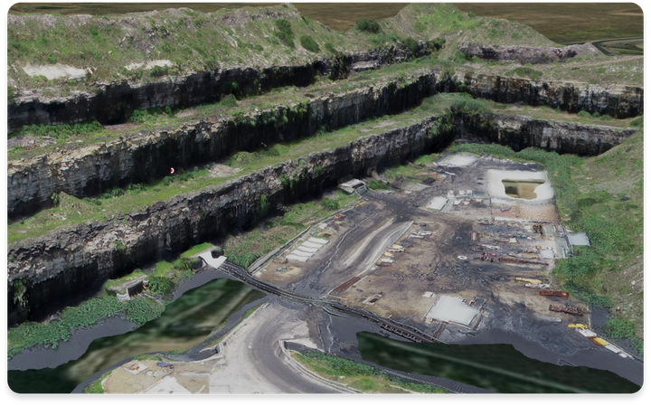
Capture high-resolution aerial data to support mining, environmental, government, and private-sector projects. Transform drone and aerial survey imagery into accurate digital terrain models, georeferenced imagery, and detailed topographic maps.
Mining
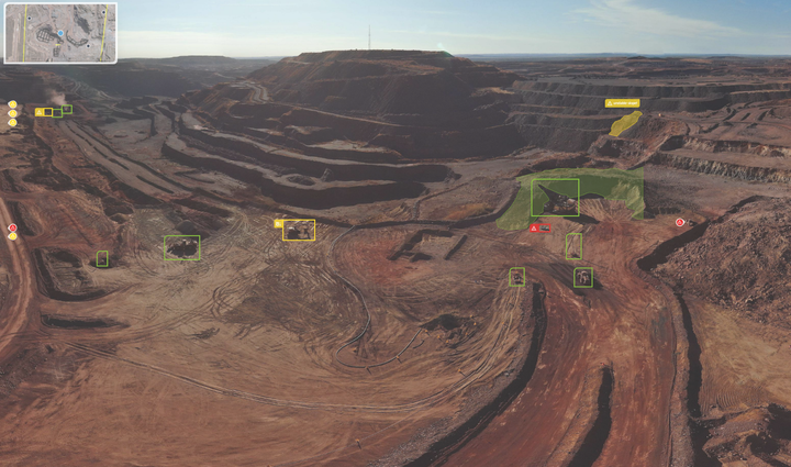
Transform mining data into actionable operational insights. Visualise mining activities, monitor operational performance, track compliance against planned designs, and improve visibility across sites to support safer, more efficient, data-driven decision-making.
Spatial Data
Bring complex spatial information together in one powerful platform. Integrate geographic datasets, interactive maps, and location-based information to improve data accessibility, streamline workflows, and support informed planning and analysis.
Construction
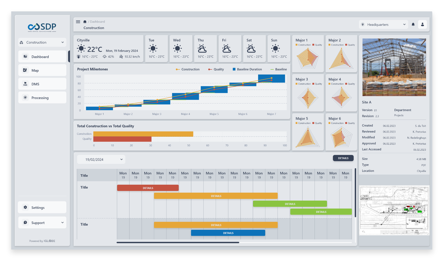
Improve project visibility and control with accurate, location-based data. Monitor site progress, compare planned designs against actual conditions, track earthworks and material volumes, and support better coordination throughout the construction lifecycle.
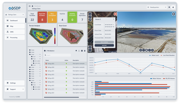
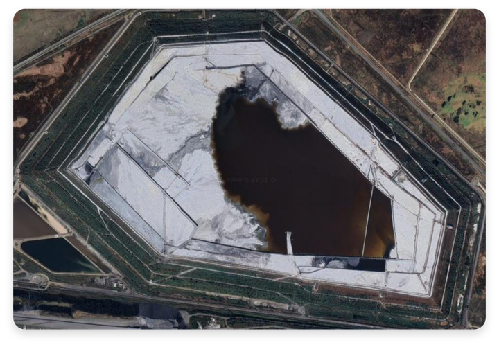
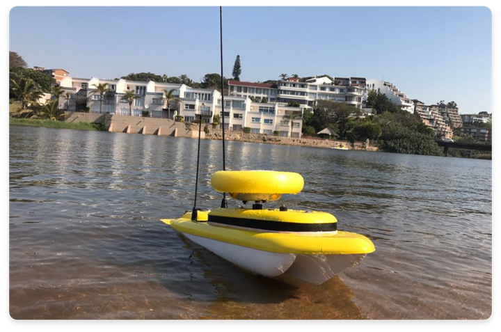
Our bathymetric survey solution includes a remote-controlled electric survey boat that gathers accurate depth data from tailings facilities. Equipped with GNSS (GPS) and echo sounder technology, it provides precise positioning and depth information in real time, enhancing water volume estimates and facilitating detailed stage/volume relationships through repeat surveys.
Ideal for mining, municipality, plant, and energy sectors, iGlobe's solution aids in water management, stability monitoring, and calculating surface area and storage capacity.
 Offsite Construction Monitoring
Our Offsite Construction Monitoring (OCM) solution enhances project efficiency by tracking critical paths, budgets, and documents. It forecasts budget status, aiding in informed financial decisions and project alignment.
Offsite Construction Management
Timelapse
AI
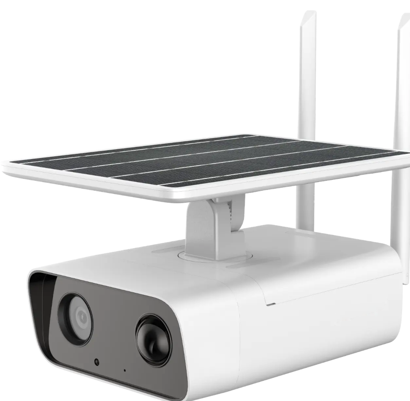
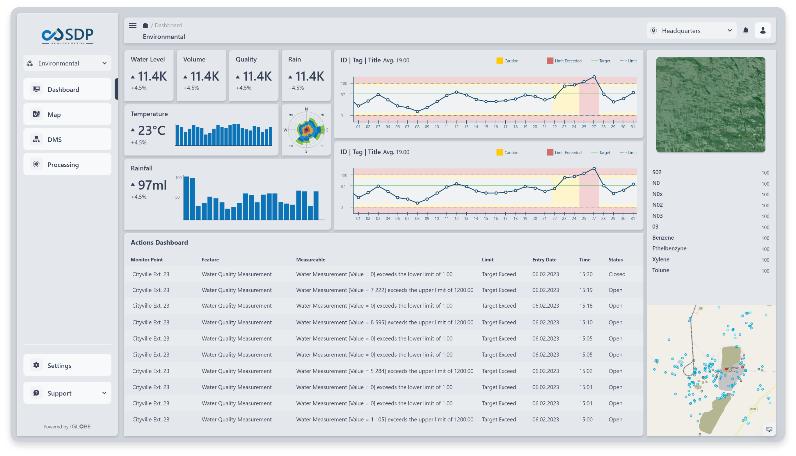
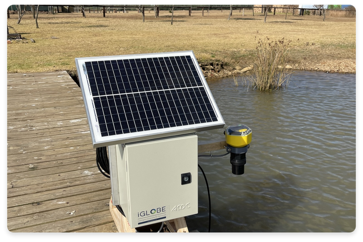
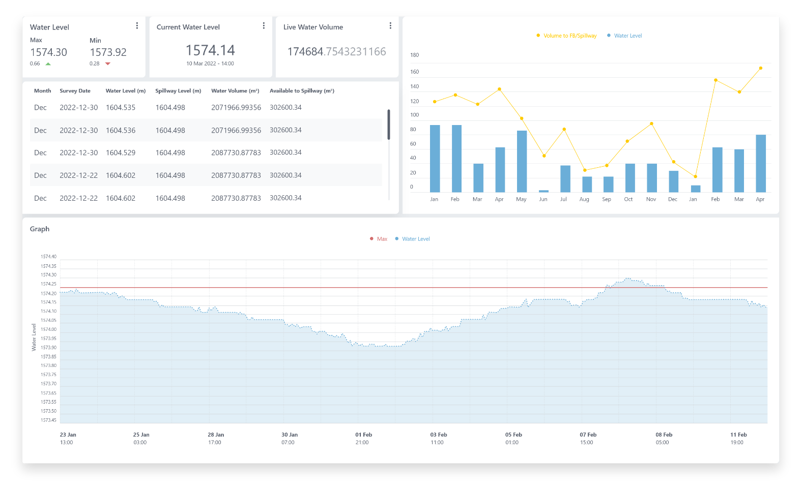
Our integrated solution combines hardware and software for precise water level monitoring. Utilising ultrasonic level transmitters and a pressure sensor, it offers customisable interval measurements. Our early warning system alerts you to low or high levels, ensuring proactive management. IoT connectivity enables real-time monitoring globally. Beyond water levels, it tracks soil moisture, tilt, temperature, and humidity for comprehensive resource insights.
 Inspections
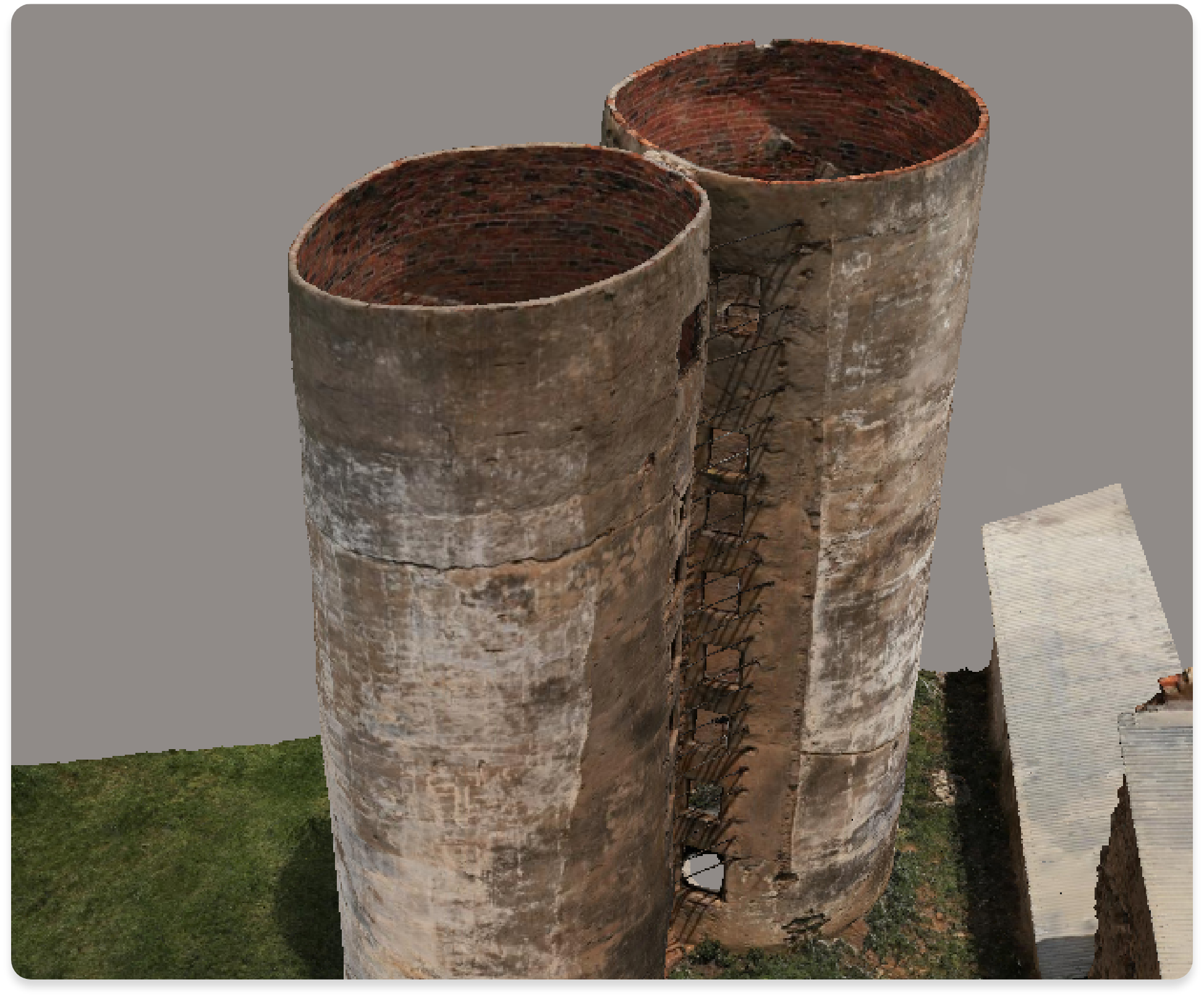
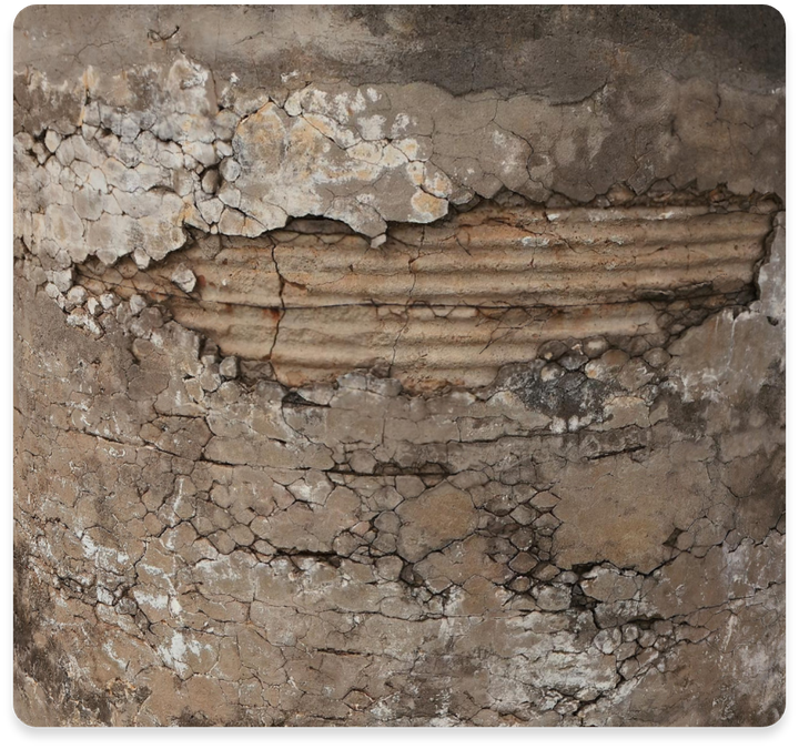
Specialising in intelligent concrete inspections with drones, we reduce downtime and boost productivity. We generate detailed RGB and Thermal 3D models, using advanced defect detection for accurate reports. Our services extend to structural inspections like tanks, buildings, bridges, and renewable energy systems. We optimize efficiency for solar and wind power installations, ensure telecommunications towers are sound, and conduct conveyor belt inspections to prevent downtime.